


Øyer municipality
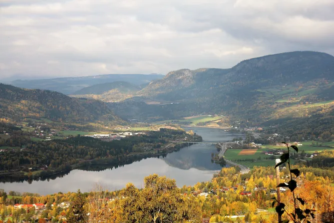
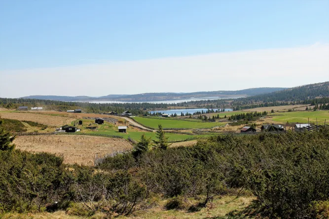
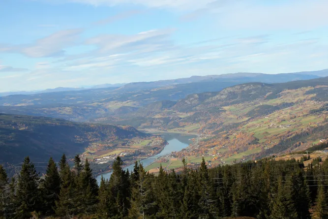
Øyer municipality is located in beautiful Gudbrandsdalen and belongs to Oppland county. The municipality borders Ringebu to the north, Stor-Elvdal to the east, Ringsaker and Lillehammer to the south, and Gausdal to the west. Øyer consists of two parishes: Øyer and Tretten. With a total area of around 640 km², of which about 20 km² is covered by water, the area offers both mountains and nature. The municipality's highest point is Eldåhøgda, which rises 1232 meters above sea level. The municipality has two urban settlements: Granrudmoen with 2,004 inhabitants (2017), and Tretten with 843 inhabitants in the same year.
About Øyer municipality
Øyer is located in beautiful Gudbrandsdalen and is a municipality in Oppland. It is bordered by Ringebu to the north, Stor-Elvdal to the east, Ringsaker and Lillehammer to the south, as well as Gausdal to the west. The municipality includes the two parishes of Øyer and Tretten. Its area is around 640 km², including about 20 km² of water. Eldåhøgda, at 1232 meters above sea level, is the highest point. Øyer has two urban settlements: Granrudmoen with 2,004 inhabitants (as of 2017) and Tretten with 843 inhabitants in the same year.
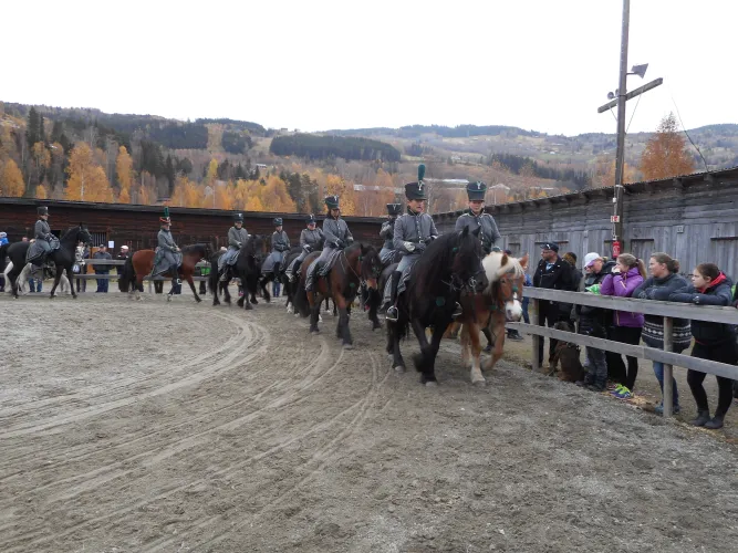
Historically, Øyer has been characterized by agriculture and forestry. There are about 30,000 daa of agricultural land, of which about 25,000 daa is fully cultivated land. The forestry area counts around 164,000 daa, and the outlying areas amount to almost 390,000 daa. The municipality has about 180 farms in operation, with 1200 dairy cows, 350 suckler cows and about 8000 sheep and lambs grazing in the summer. Pig production is also carried out, and Øyer has functions such as a hub for a sow ring and a test station for cattle.
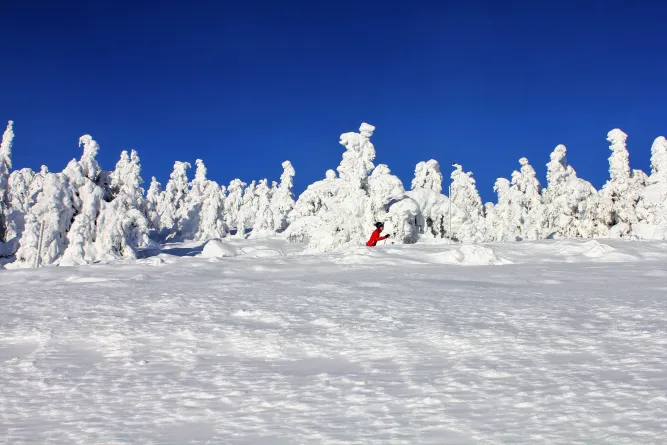
A special feature of Øyer is the importance of the mountains in the municipality. In the 1960s, large mountain areas were cultivated, which led to about a third of all cultivated land being in the mountains. A large part of the area is also state commons, where the mountain on the east side is administered by the mountain board on behalf of the state as owner.
Tourism in Øyer municipality
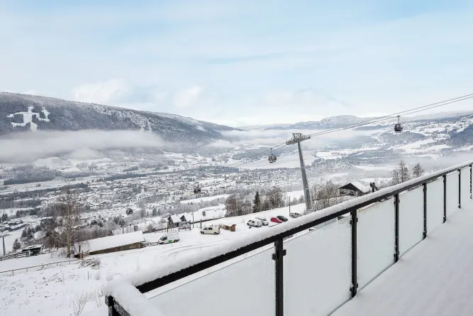
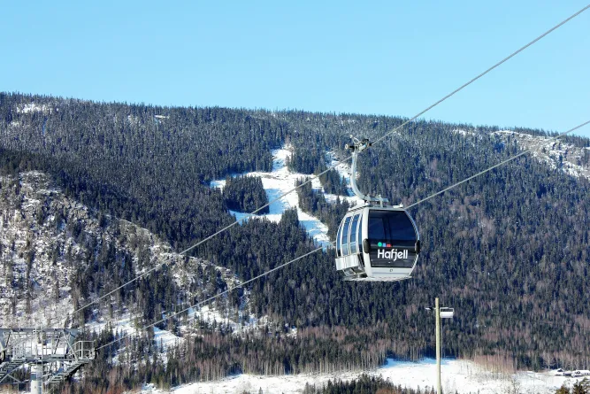
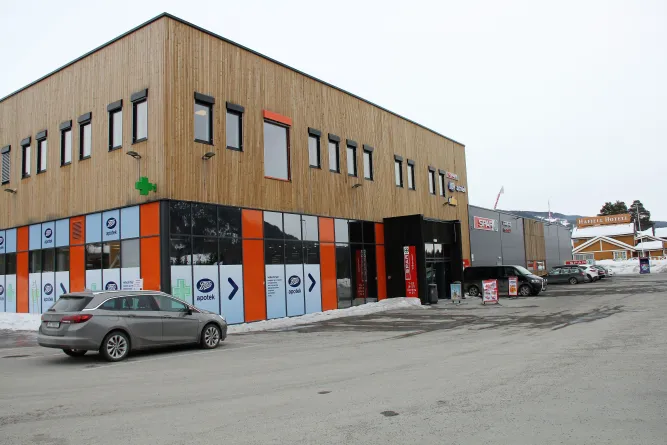
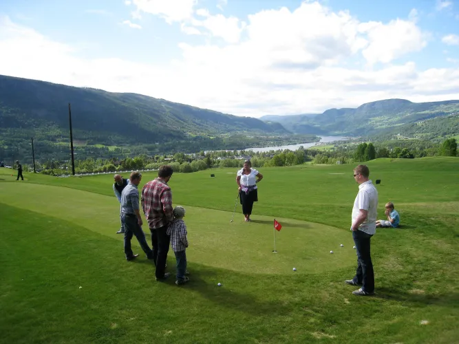
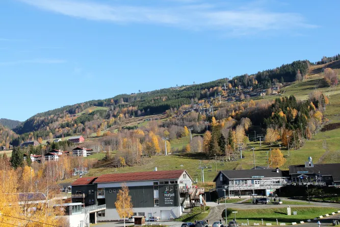
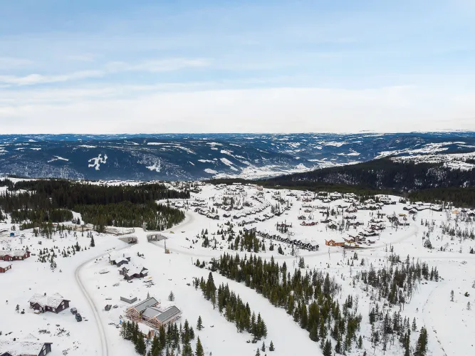
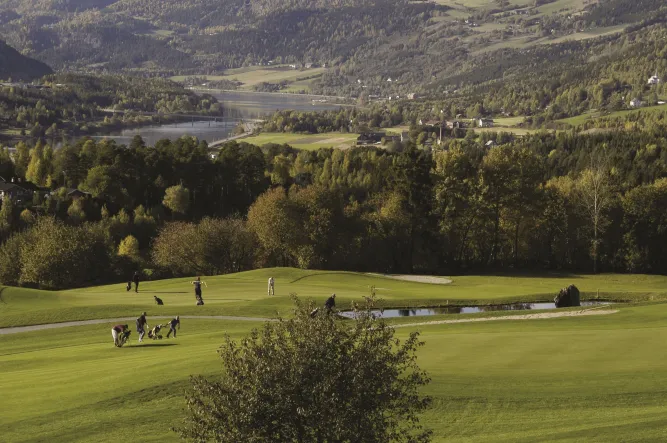
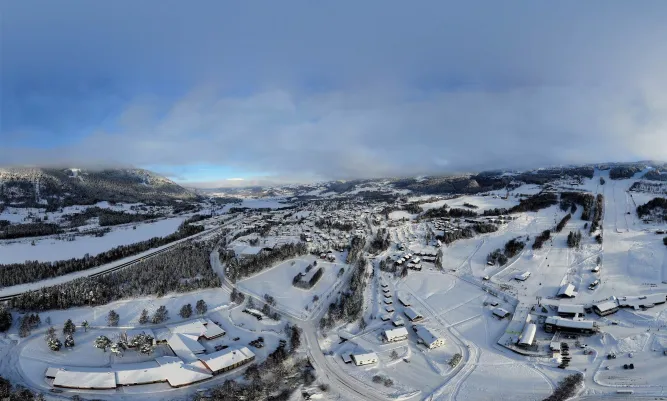
After the Olympics in Lillehammer in 1994, the tourism development in Øyer underwent a huge development. Hafjell ski resort has been the driving force behind an extensive development of accommodation options in the southern part of the village. Øyer Gjestegård and Lilleputthammer family park were the first initiatives that laid the foundation for today's tourism investment. Later, hotels, apartments, large cabins and private cabins have been established. In total, there are around 8000 commercial beds and 5500 private cabins in the area. Although Hunderfossen Family Park is located in Lillehammer municipality, its proximity adds both winter and summer activities that make Øyer a unique destination all year round.
Read more
Contact information
- +47 61 26 81 00
- [email protected]
- Kongsvegen 325 - 2636 - Øyer