


Hiking in Lillehammer mountains
The Lillehammer area is an ideal place for mountain hikes. Here you will find well-marked trails and can explore one or more of our recommended hiking options.
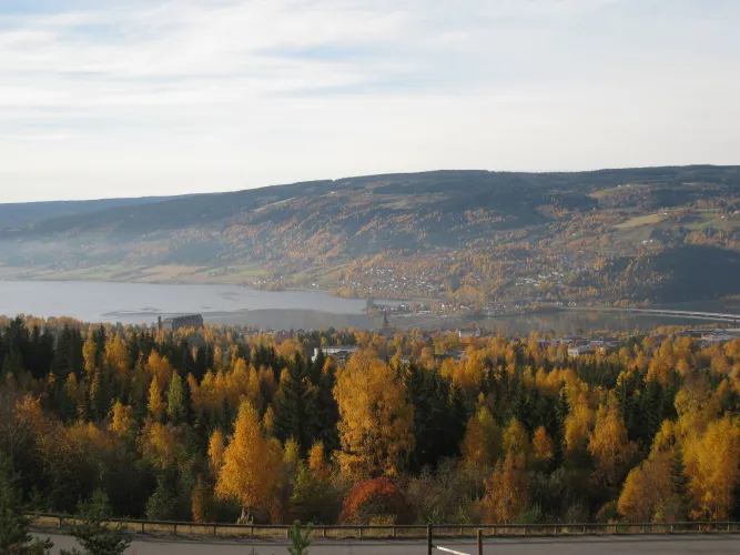
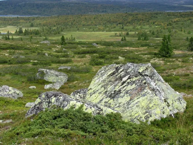
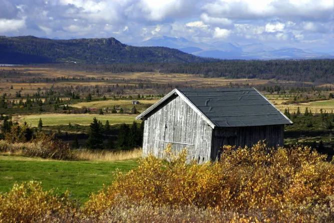
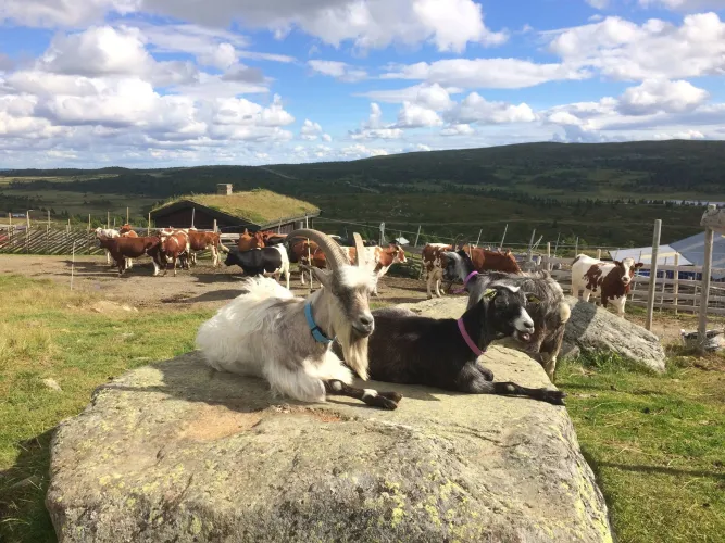
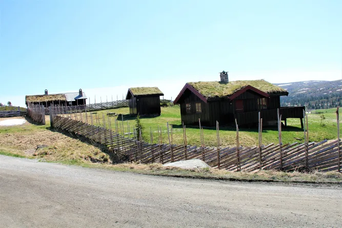
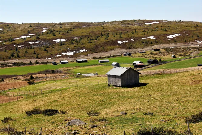
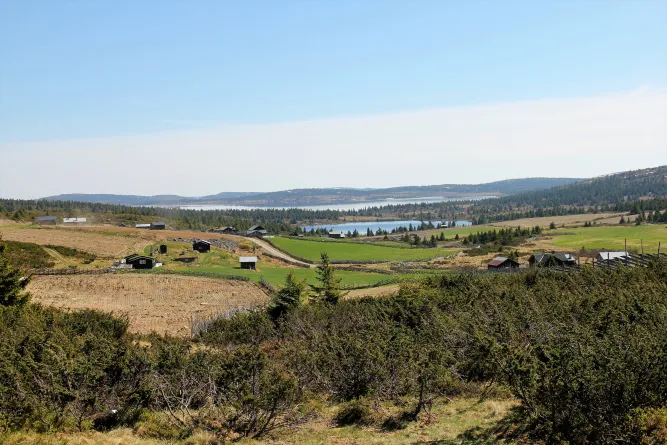
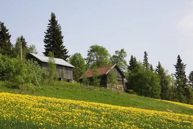
The local mountains offer breathtaking mountain expanses, as well as mountain peaks with spectacular views. Marked rambling trails have been established throughout the area to guide you through the best Norwegian nature has to offer. Picturesque mountain farm communities and shiny lakes dot the landscape, and there is plenty of action in store for those of you interested in coming along a moose safari or racing across the open mountain landscape on a bicycle.
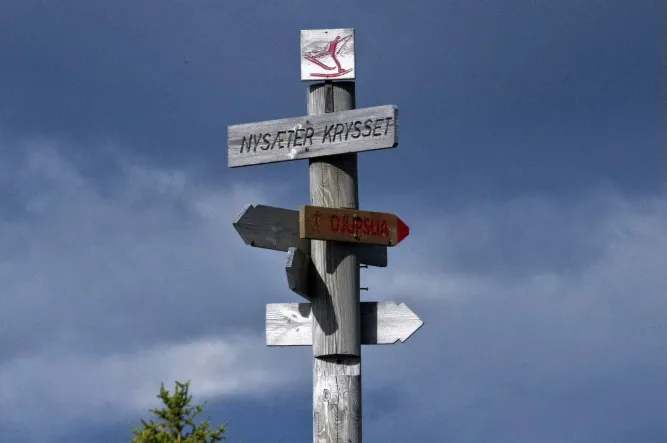
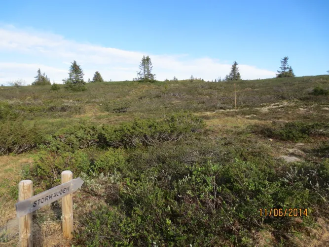
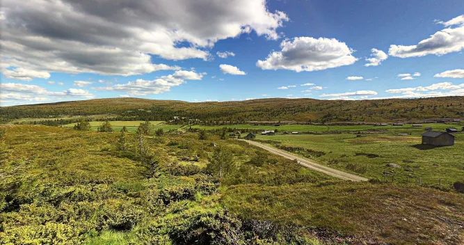
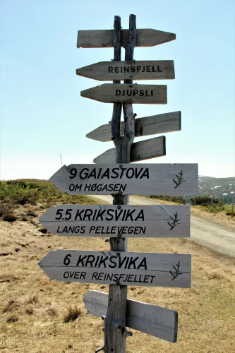
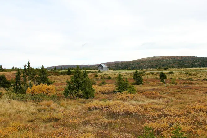
The Norwegian Mountain Touring Association has designed and marked a wide range of trails in varying terrain in the Nordseter, Sjusjøen and Øyer mountains. The landscape is featured by gentle mountain slopes, rounded hills, and mountain plateaus. The terrain is ideal for walking. All the main trails are marked with a red "T".
There are several hiking trails at Nordseter. Some are in the high mountains, some
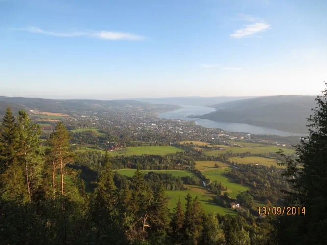
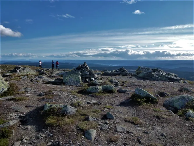
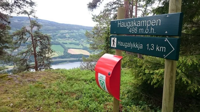
in the woods. A very nice trail leads up the mountain of Nevelfjell (1089m) between Reinsvann and Nevelvann lakes. On a clear day you can see as far as the mountain range and national parks of Jotunheimen and Rondane. On a warm summer day a swim in the lakes is refreshing, with a sandy beach at Krigsvika and Reinsvann. Trails lead to Sjusjøen, Pellestova and the top of Hafjell, where you will find a catering service. There is also trails leading down to the Olympic arena and Lillehammer centre. Nevelfjell-Pellestova-Reinsfjell-Hitfjell-Kriksfjell. This is a wonderful day-trip with a magnificent view of the spectacular open-landscape.
Gropmarka-Lillehammer. A great walk from the mountains to Lillehammer in constantly varying terrain. Gropmarka is a popular area for locals.
The local mountains offer excellent terrain for Nordic Walking. Walking poles, lessons and route suggestions available at the Nordseter Activity and Ski Centre.
Sjusjøvannet Lake
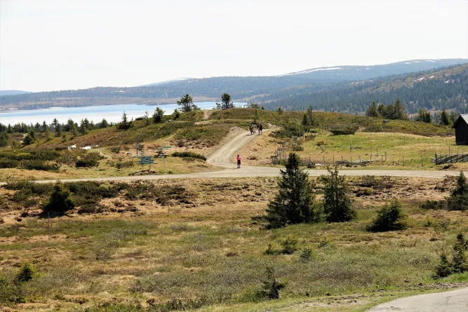
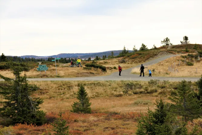
Sjusjøen offers a wide range of sign posted trails in varying terrain. A very popular trip is to walk via Lunkefjell to the mountains in Nordseter or Sjusjøen. For those of you who prefer level landscapes, and excellent trip is to walk around Sjusjøvannet and the to Fjellelva.
Distance 8 km, 1,5-2 hours
Country terrain: Nice and easy terrain
The route: Follow the road passing Rustad Hotell & Fjellstue, take the path to the right after Rustad towards the lake. Follow the road along the lake and keep the right after the river Fjellelva. Keep right on the road and cross the dam.
Height meters: 172 m, Distance 16 km, 4 hours
Contry terrain: Dry mountain terrain, small climbs
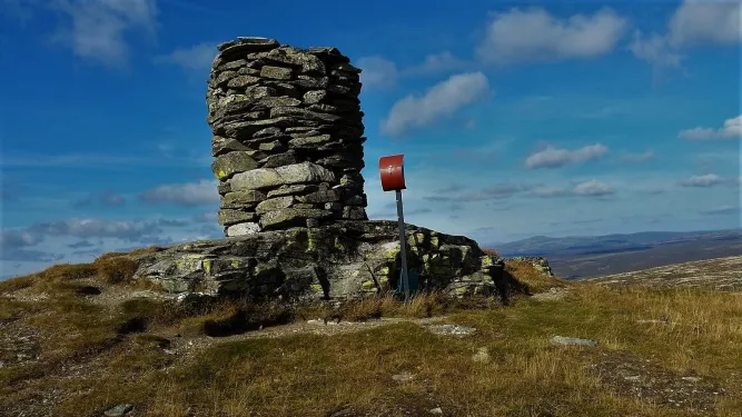
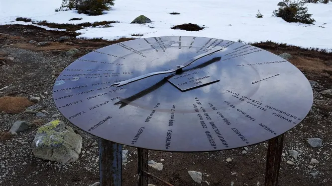
The route: Follow the road passing Sjusjøen Fjellstue and the signs towards Nordseter and Sjusjøfjell. On the top of Sjusjøfjell there is a round plate showing the view in different directions. Fantastic view. Nice and easy terrain down towards Nordseter. Follow the sighs towards Sjusjøen on the way back.
Mesna river
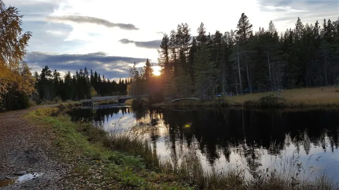
The Olympic Park in Lillehammer is a fantastic starting point for rambling trips, and a walk along the Mesna river will provide you with a close-up view of magnificent Norwegian nature.
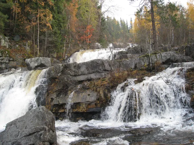
The Olympic Park is an excellent starting point for walks. Follow the scenic route along Mesnaelva river, past Svarga, the home of Marcello Haugen, across Collets bru (Collet's bridge) and past Helvetesfossen falls towards Kroken. On your return, you can walk along Birkebeiner road and see the Kanthaugen Freestyle Arena and the lower part of Lysgårdsbakkene Ski Jumping Arena at close range. If you want to get to the top of the ski jumping hill without walking, take the chair lift from the outrun at the bottom of the hill.
The Olympic Park - Lysgårdsbakkene Ski Jumping Arena - Lake Abbortjern - Mesnasaga.
Excellent day trip in easy terrain. The best view of Lillehammer is from Kanthaugen at the top of the ski jump. From here, the trip to Lake Abbortjen and Mesnasaga passes through easy forest country, offering opportunities on the way to take a dip at both Lake Abbortjern and Mesnasaga.
In the Øyer Mountains
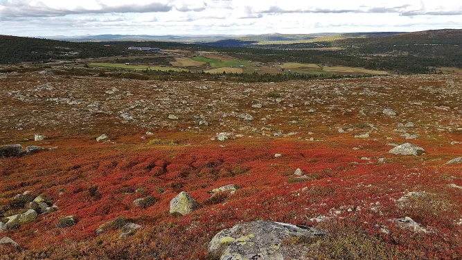
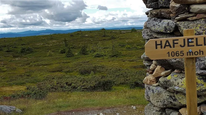
In the Øyer Mountains, you can follow marked trails from Hafjelltoppen and down to the centre of village. There is also a marked forest trail down to the river Lågen, and from the west side of the river up to the "Fakkelmannen (Olympic Torch Man)" which is a feature carved out of the forest on the side of the valley opposite Hafjell.
Lillehammer trail map for sale at the tourist information
Map RondaneMap JotunheimenMap Lillehammer
Rambling maps are for sale at the tourist office, shops, petrol stations and some overnight accommodation sites.
Rock carving
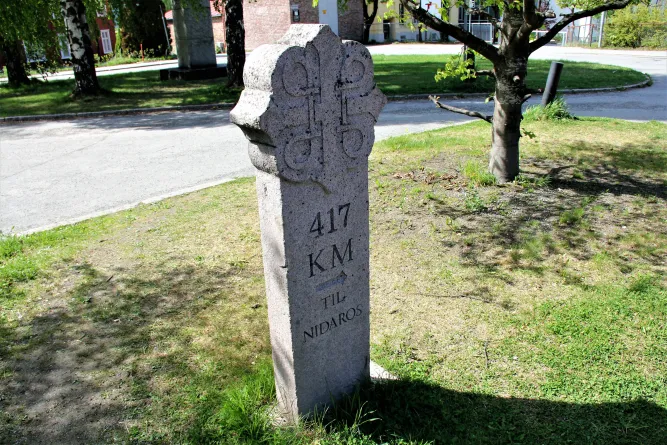
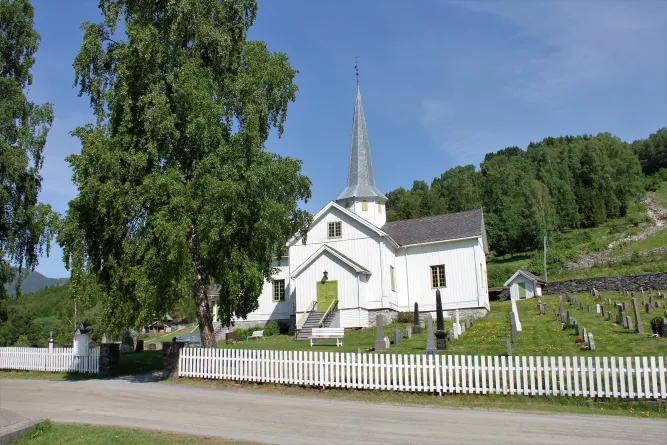
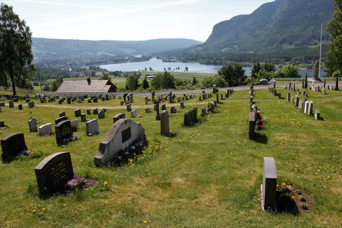
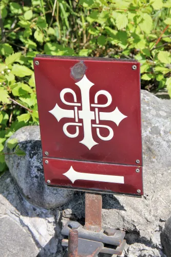
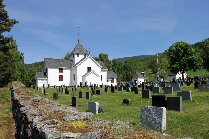
Takes you through a 6000 year old cultural landscape. The 4km long trail starts at Fåberg church. Pilgrims who travelled from Hamar to Trondheim walked along both the western and eastern shores of Lake Mjøsa, and through the Gudbrandsdals valley.
Practical information
How to get there:
From the centre of Lillehammer take road no 213 due north to Fåberg village. Cross the river Lågen on the Brunlaug bridge. Continue straight ahead 300 metres, turn right on to road no 253 northbound to parking place.
Parking
Free parking next to the church, Fåberg, or at the parking lot for visitors to Drotten on road no 253 ca 1,7 km north of Brunlaug bridge. Both marked with a P-sign.
The walk
The walk is ca 4 km, climbing 125m and then a 175 m downhill slope. There is also a shorter round trip. For this it is a advisable to start at the Fåberg church
Sign posts
8 signposts along the path with historical, geological, botanical and geographical information in English.
Rambling trails
The Norwegian Mountain Touring Association has designed and marked a wide range of trails in varying terrain in the Nordseter, Sjusjøen and Øyer mountains. The landscape is featured by gentle mountain slopes, rounded hills, and mountain plateaus. The terrain is ideal for walking. All the main trails are marked with a red "T".
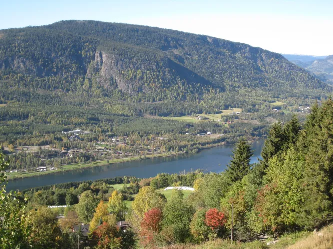
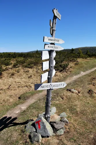
Mount Nevelfjell
There are several hiking trails at Nordseter. Some are in the high mountains, some
in the woods. A very nice trail leads up the mountain of Nevelfjell (1089m) between Reinsvann and Nevelvann lakes. On a clear day you can see as far as the mountain range and national parks of Jotunheimen and Rondane. On a warm summer day a swim in the lakes is refreshing, with a sandy beach at Krigsvika and Reinsvann. Trails lead to Sjusjøen, Pellestova and the top of Hafjell, where you will find a catering service. There is also trails leading down to the Olympic arena and Lillehammer centre. Nevelfjell-Pellestova-Reinsfjell-Hitfjell-Kriksfjell. This is a wonderful day-trip with a magnificent view of the spectacular open-landscape.
Gropmarka-Lillehammer. A great walk from the mountains to Lillehammer in constantly varying terrain. Gropmarka is a popular area for locals.
The local mountains offer excellent terrain for Nordic Walking. Walking poles, lessons and route suggestions available at the Nordseter Activity and Ski Centre.
From Sjusjøen
Sjusjøvannet Lake
Sjusjøen offers a wide range of sign posted trails in varying terrain. A very popular trip is to walk via Lunkefjell to the mountains in Nordseter or Sjusjøen. For those of you who prefer level landscapes, and excellent trip is to walk around Sjusjøvannet and the to Fjellelva.
Around Lake Sjusjøen
Distance 8 km, 1,5-2 hours
Country terrain: Nice and easy terrain
The route: Follow the road passing Rustad Hotell & Fjellstue, take the path to the right after Rustad towards the lake. Follow the road along the lake and keep the right after the river Fjellelva. Keep right on the road and cross the dam.
From Sjusjøen to Nordseter and back
Height meters: 172 m, Distance 16 km, 4 hours
Contry terrain: Dry mountain terrain, small climbs
The route: Follow the road passing Sjusjøen Fjellstue and the signs towards Nordseter and Sjusjøfjell. On the top of Sjusjøfjell there is a round plate showing the view in different directions. Fantastic view. Nice and easy terrain down towards Nordseter. Follow the sighs towards Sjusjøen on the way back.
The Olympic Park
Mesna river
The Olympic Park in Lillehammer is a fantastic starting point for rambling trips, and a walk along the Mesna river will provide you with a close-up view of magnificent Norwegian nature.
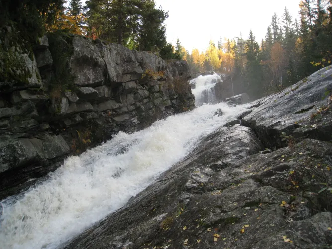
Håkons Hall-Mesna river-Svarga
The Olympic Park is an excellent starting point for walks. Follow the scenic route along Mesnaelva river, past Svarga, the home of Marcello Haugen, across Collets bru (Collet's bridge) and past Helvetesfossen falls towards Kroken. On your return, you can walk along Birkebeiner road and see the Kanthaugen Freestyle Arena and the lower part of Lysgårdsbakkene Ski Jumping Arena at close range. If you want to get to the top of the ski jumping hill without walking, take the chair lift from the outrun at the bottom of the hill.
The Olympic Park - Lysgårdsbakkene Ski Jumping Arena - Lake Abbortjern - Mesnasaga.
Excellent day trip in easy terrain. The best view of Lillehammer is from Kanthaugen at the top of the ski jump. From here, the trip to Lake Abbortjen and Mesnasaga passes through easy forest country, offering opportunities on the way to take a dip at both Lake Abbortjern and Mesnasaga.
In the Øyer Mountains
Øyer Mountains
In the Øyer Mountains, you can follow marked trails from Hafjelltoppen and down to the centre of village. There is also a marked forest trail down to the river Lågen, and from the west side of the river up to the "Fakkelmannen (Olympic Torch Man)" which is a feature carved out of the forest on the side of the valley opposite Hafjell.
Lillehammer trail map for sale at the tourist information
Map RondaneMap JotunheimenMap Lillehammer
Rambling maps are for sale at the tourist office, shops, petrol stations and some overnight accommodation sites.
Fåberg Cultural Trail
Rock carving
Takes you through a 6000 year old cultural landscape. The 4km long trail starts at Fåberg church. Pilgrims who travelled from Hamar to Trondheim walked along both the western and eastern shores of Lake Mjøsa, and through the Gudbrandsdals valley.
Practical information
How to get there:
From the centre of Lillehammer take road no 213 due north to Fåberg village. Cross the river Lågen on the Brunlaug bridge. Continue straight ahead 300 metres, turn right on to road no 253 northbound to parking place.
Parking
Free parking next to the church, Fåberg, or at the parking lot for visitors to Drotten on road no 253 ca 1,7 km north of Brunlaug bridge. Both marked with a P-sign.
The walk
The walk is ca 4 km, climbing 125m and then a 175 m downhill slope. There is also a shorter round trip. For this it is a advisable to start at the Fåberg church
Sign posts
8 signposts along the path with historical, geological, botanical and geographical information in English.
Read more
Contact information
- +47 61 28 98 00
- Jernbanetorget 2 - 2609 - Lillehammer